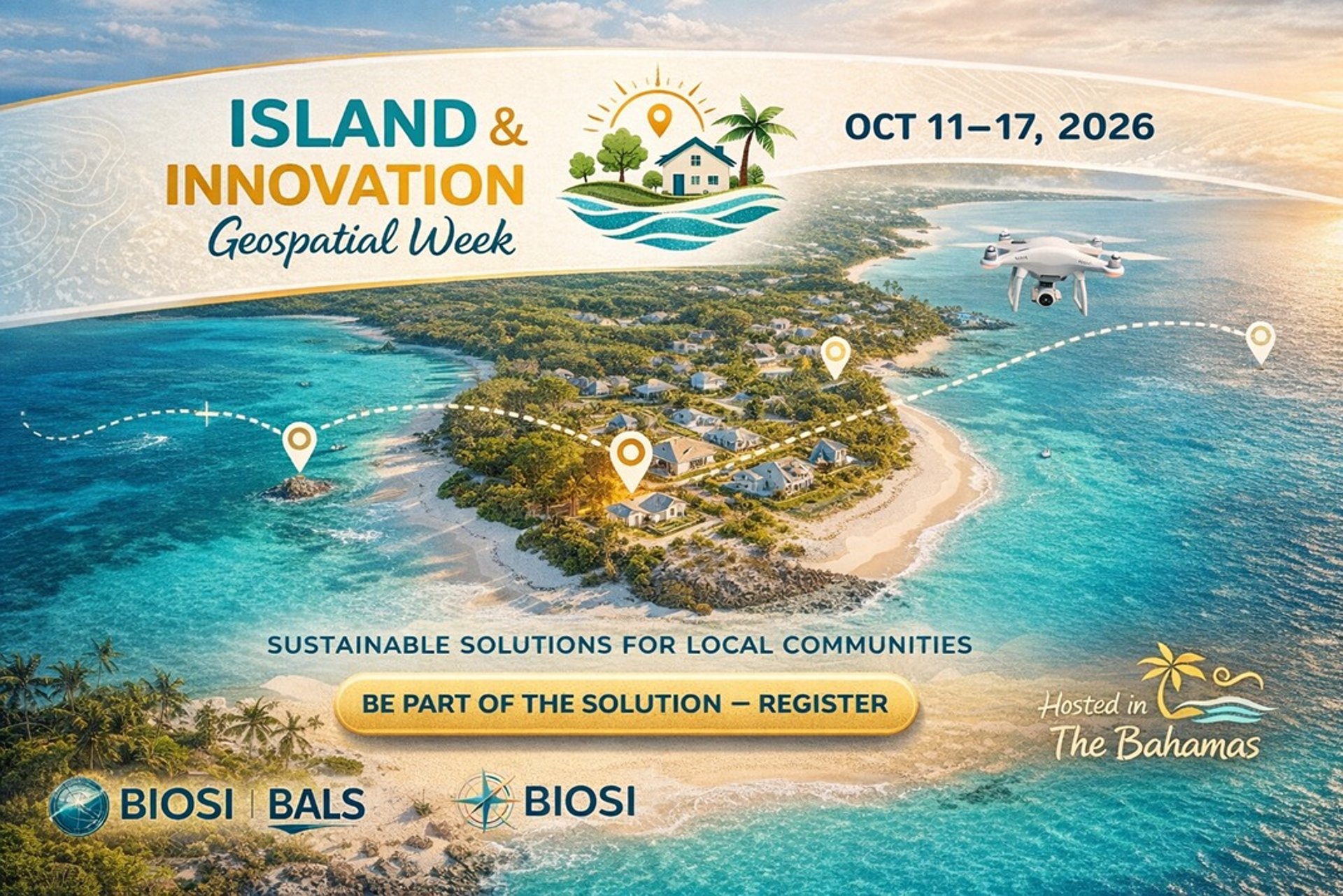
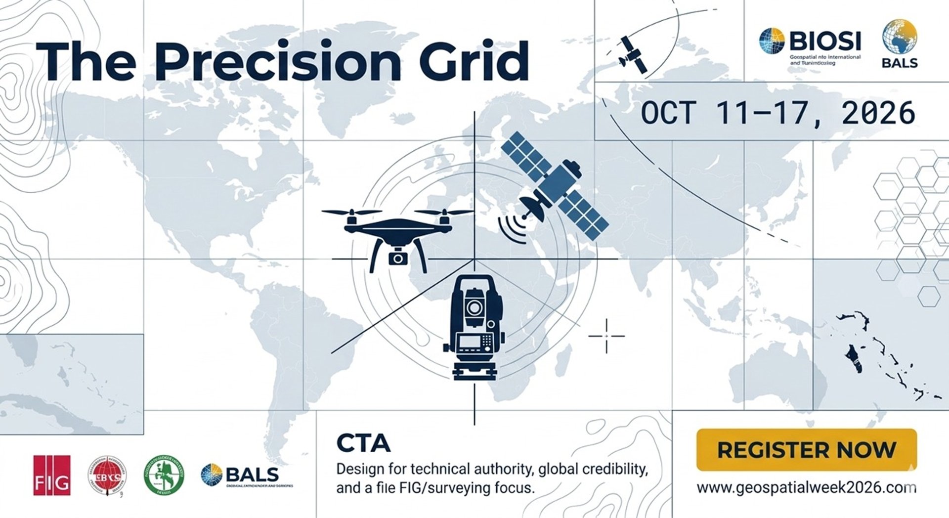
Geospatial Week 2026
Join us from October 11-17 to explore the future of geospatial technology and innovation.
About Geospatial Week
To harness the transformative power of geospatial technology and data to advance transparent land reform, foster sustainable national development, and empower every Bahamian—from government leaders and professionals to community members and youth—with the knowledge and tools to build a secure, resilient, and equitable future.
Our Mission
Our Vision
To position The Bahamas as a global model for SIDS (Small Island Developing States), where integrated geospatial intelligence is the foundation for economic growth, climate resilience, social justice, and the secure stewardship of our unique archipelago for generations to come—creating a Smart Archipelago where every community is mapped, connected, and empowered


Gallery
Explore highlights from Geospatial Week 2025 events.


Geospatial Week FAQ
What is Geospatial Week?
Geospatial Week is an annual event celebrating geospatial technology and its applications from October 11-17.
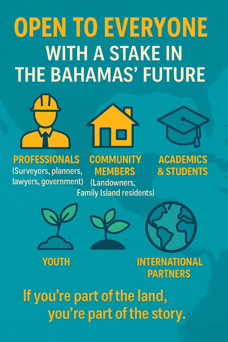
Who can participate?
How to register for events?
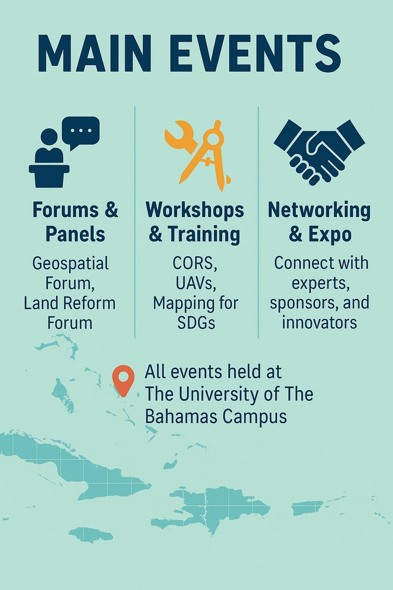
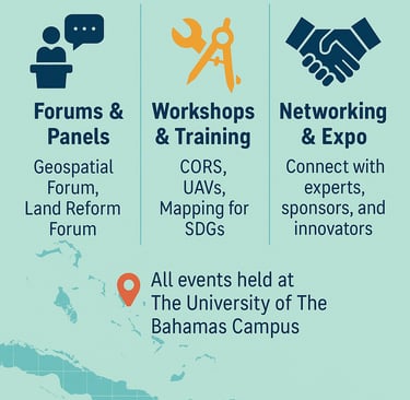
What are the main events?
Where will the events be held?
Visit www.surveyorswebinar2025.com and select from several tiers: Geospatial Forum Attendee, Land Reform Forum Attendee, Expo-Only Pass, or Exhibitor Booth. Auto-confirmation and QR code check-in will be sent.
Events include workshops, seminars, and networking opportunities will be held at The University of The Bahamas.
Everyone with a stake in The Bahamas' future: Professionals (surveyors, planners, lawyers, gov't), Community Members (landowners, Family Island residents), Academics & Students, International Partners, and Youth.
Day 1 - Policy & International Perspectives; Day 2 - Landowners & Community Empowerment; Day 3 - Implementation, Legal & Civil Society Action. Plus opening/closing ceremonies, networking reception, and exhibitions.
Is there a cost to attend?
General attendance is free; vendor booths and sponsorship packages have separate rates.
Can I attend virtually
What should I bring?
Will certificates be issued?
How do I get a booth or become a sponsor?
A digital or printed QR code for check-in and a charged device for interactive sessions.
Select "Exhibitor Booth" or "Sponsor" during registration, and our team will contact you for setup and partnership options.
Yes—hybrid sessions will be livestreamed on Zoom/YouTube with Q&A, polls, and virtual breakout rooms.
Yes—professionals and students will receive participation or CE certificates via email.
Geospatial Week 2026
Join us for Geospatial Week from October 11-17, celebrating innovation in geospatial technology and applications.
Location
University of the Bahamas
N, 4912, University Drive, Nassau, Bahamas
Hours
8 AM - 5 PM

Contact Us
Get in touch for Geospatial Week inquiries and information.
Stay Updated
Join us for Geospatial Week activities!


Select our social media sites for a seamless connection and experience.
Connect
Support
© 2025. All rights reserved.
Whatsapp/Call